We drove the Ring of Kerry on Wednesday. It is a big tourist attraction and not without reason. We were fortunate that the season is winding down because the traffic was not too bad. The drive is only about 140 km (95 miles), but it took us all day. The scenery is spectacular and varied. We were on the north side of the peninsula for a long time and we could look across to the Dingle Peninsula. The vegetation is getting ready for fall and has started to turn colors. We have a few pictures, but the colors change all the time.
Did I mention that the climate in County Kerry is sub-tropical? There are ferns, forests that look like they belong in Washington or British Columbia, yuccas that are overgrown so that thy look like palm trees and even transplanted sequoias from California. The temperature never gets too hot or too cold. [Our hostess told us that last winter was the coldest she could remember. The temperature fell to 18 degrees F (-8 C) and pipes broke all over the place.]
We drove on to Cathersiveen and from there crossed the bridge to Valentia Island. The rain started in earnest while we were driving up Geokaun Mountain and the mud / rock road was very slippery. They call it a mountain, but we would say small hill. Nevertheless, it is still the high point on the island. We waited out the rain and when it stopped, we hiked to the viewpoint and saw the area laid out for us. It really was a great view in all directions. Then we hiked down to a place where we could see the Fogher cliffs. They were pretty impressive and reminded us a little of the Napali Coast on Kauai. I posted some pictures of the views. Visiting the island was a real highlight.
We had a late lunch in Waterville on Ballinskelligs Bay before making the turn back east. Not too far from Waterville we stopped at an overlook and spotted an old circular fort far below. We could find nothing about it in the guide books. You will see from the picture that it had double stone walls. Try zooming in on the picture for more detail.
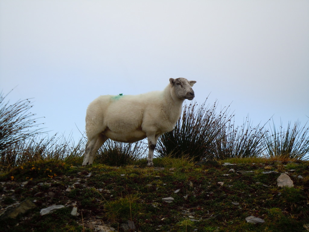
After Caherdaniel and near Castlecove, we headed up a one-lane road to see Staigue Fort. This is another stone circular enclosure that is at least 2500 years old—Iron Age. It is just standing in a pretty field that has a view of the plains and sea below. It is backed by high rocky hills so it has a good defensive position. The walls are about 13 feet thick at the bottom and 7 feet thick at the top. There is only one entrance and that entrance has been furthered narrowed by two piles of rock in the doorway (see picture). The sheep still managed to find a way in. In fact, It was our experience all day that no matter where we stopped the sheep had been there first and left evidence to prove it.
Then on to Sneem, a backroad to Moll’s Gap, past Ladies View, and we were back. Another full and interesting day.