March 27, 2013
We had a bit of a change to the schedule today but it worked well. The weather forecast had indicated rain so we did not go to Labraunda, Herakleia, or Bafa Gölü. Instead, in the morning we went to Milas and in the afternoon to Iasos.
On the way to Milas, we stopped at the Myndos Gate in Halicarnassus (Bodrum). Patricia and I visited it on our last visit to Bodrum. It was good to see that the massive remains of the outer gate were right where we left them. They are yet another place Alexander visited in 334 B.C. John L and Yildirim passed along a good bit of information about the ruins, which consist mostly of the two towers flanking the outer gate. We are all getting pretty good about spotting what is original material and what is reconstruction. Now all we need are more opportunities to practice.
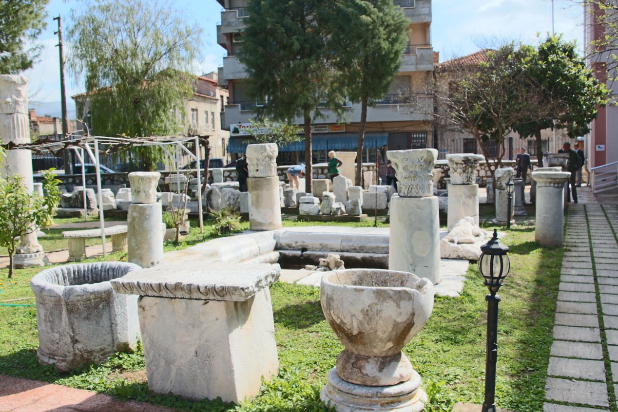
Milas (Mylasa, Miletus) was/is a Lydian city. There has been a settlement here for a very long time. We stopped at the museum which has a small but interesting collection inside and has a number of marble pieces outside. I was reminded that I need to learn more Turkish because all of the inscriptions in this little museum were in Turkish and I could only make out a word here and there.
We stood outside and learned about the local (ancient) politics and our “guest lecturer” Dr. Ufuk Serin (a SAR scholar) told us something about one of the ambos (an ambo is a raised stand in early Christian churches from which part of the service was read).
Across the street from the museum is the Great Mosque of Milas which is dated to 1378. We did not get inside and, to my completely untrained eye, there was nothing at all special about the exterior of this mosque (or cami, which is pronounced “jami”). There was little that would even tell most people that it was a mosque. Even the minaret did not look like a minaret to me.
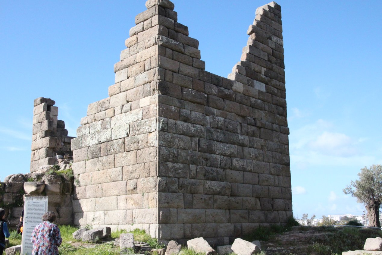
We piled on the bus for a ride to a city neighborhood and looked at one of the old city gates. This city gate dates to about the 2nd century B.C. It is noteworthy because of the Carian symbol of a double-headed ax (I posted a picture) in the top of the gate. While we were looking we had to keep on our toes because cars kept driving in and out of the gate. It is thought-provoking (but not profound) that this 2200-year old gate is so unimportant to the locals that it is just a way to get from one place to another.
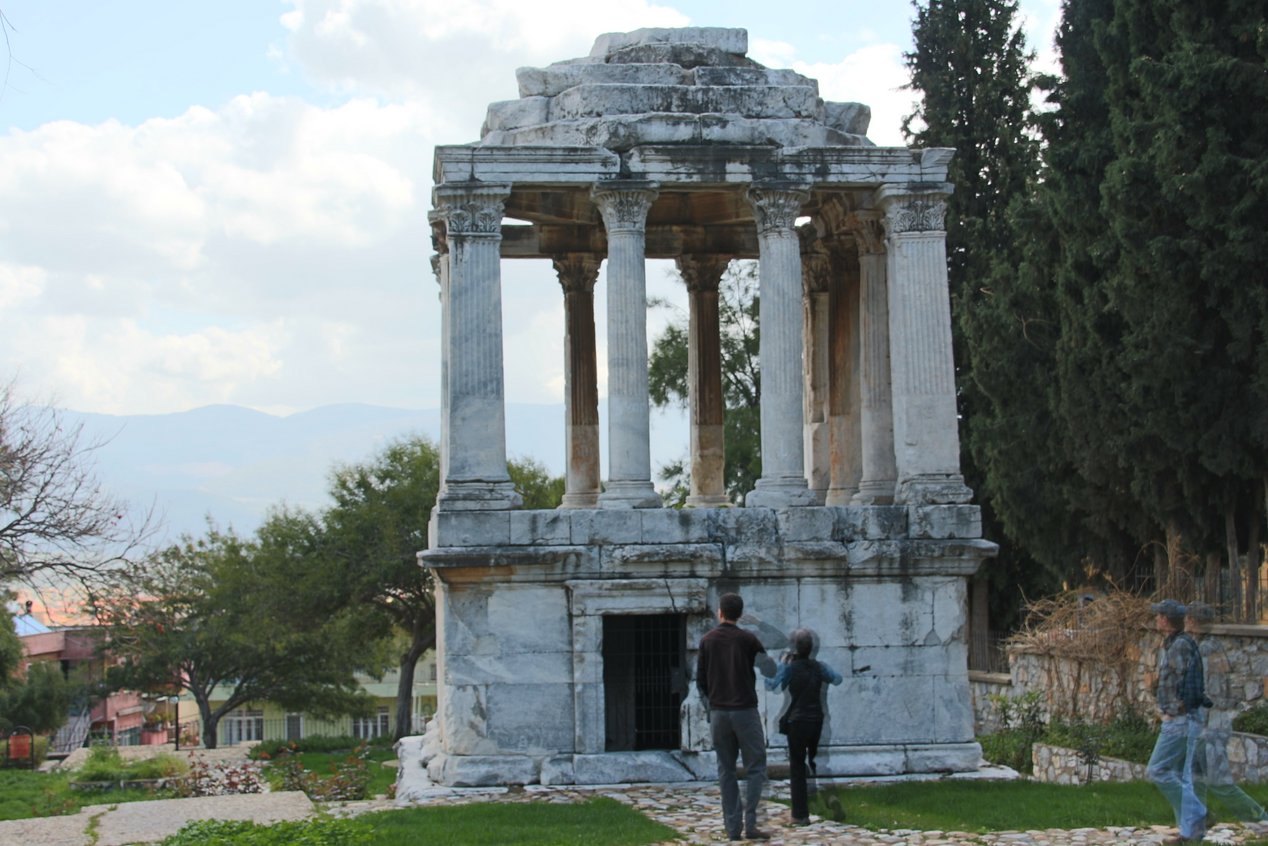
We moved on to a mausoleum. You’ll remember that I said the Mausoleum in Bodrum, which was once a wonder of the world, is now mostly rubble. The Gumuskesen tomb (the “silver purse”), which dates to the 1st century B.C., is said to have been modeled on the original Mausoleum. This one is mostly intact. It is located in what is now a peaceful little park and it is quite nice to look at.
Next we walked through a section of downtown Milas. It is old, but nothing near as old as what we had been looking at. It did give us an opportunity to see normal workday activities. We ended up at a restaurant that is more used to local people than to a bunch of tourists. We were treated very well though and had a pretty good lunch for a relatively small price.
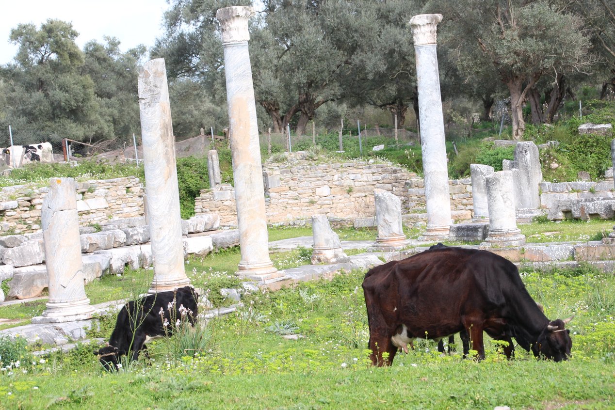
In the afternoon we made the trip to Iasos. Its location is near the sea and the site itself is in another picturesque location. Getting there involved a pretty windy, narrow road. Cows wandered the site and sheep and cows were all over the hillsides.
Professor Serin who gave us an overview of the site and explained some of the church and temple architecture. We sat on the marble benches in the bouleuterion (city council building) to listen. More than 2,000 years ago the city was run from that exact location.

This is a good location and has been occupied since at least the Bronze Age. What we saw on the lower part of the site was from about the 2nd century B.C. to the 6th century A.D. We saw some of the red/white marble for which Iasos was famous. We climbed the hill to see a Byzantine strong point that overlooks the lower part of the site. It was a good climb and we had a very good view of the surrounding area.
If I haven’t made it clear before, I will here: you may think the site descriptions and history here have been short and lacking in detail, but there is no way I could (or even should) try to replicate what we hear from John Lee and Yildirim and John Kantner. There is just too much information and I could not do it justice. Instead, what I hope to do is give you some sense of where we have been and what, in general, we have seen. Some information about these sites is available online (and there are references in the itinerary) so you can dig as deep as you want. Look at the pictures and imagine these sites as we are seeing them; few other tourists, quiet, sometimes wooded or in farm fields, sometimes partially restored, sometimes just left-overs. We sit or stand and listen to the history of the site and its people and marvel at being places we have heard about (sometimes) or which we never knew existed (often) and then we get to wander about trying to imagine what it must have been like more than 2,000 years ago.
There are pictures on the pictures page.
Here is what our route looked like today.